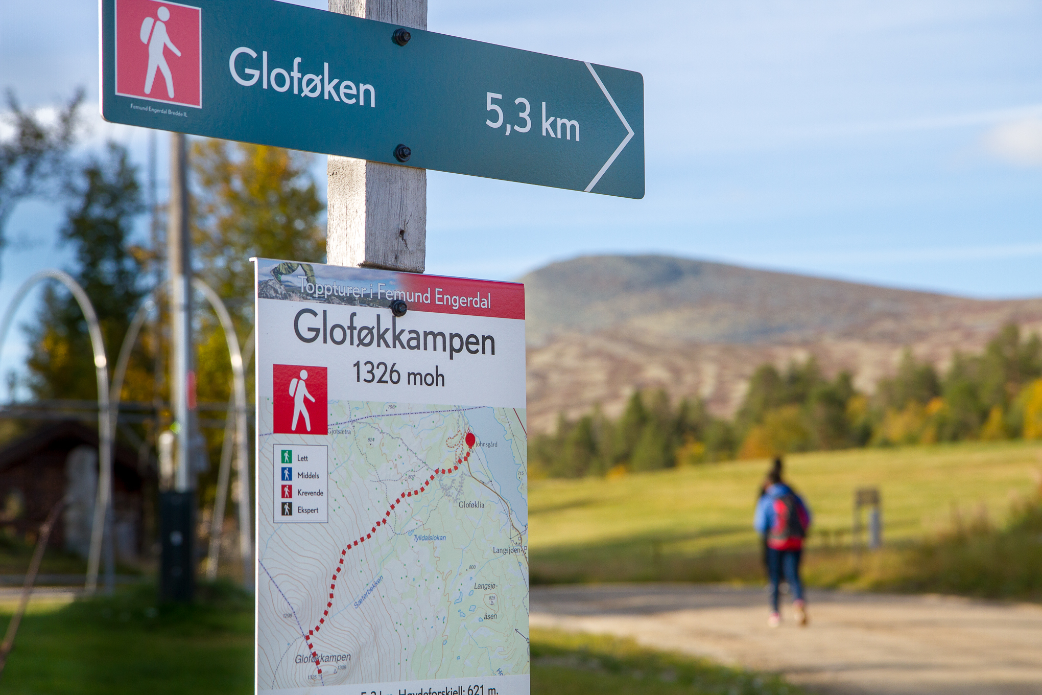
Gloføkkampen
1326 meters above sea level. 5,3 km 600 high meters.
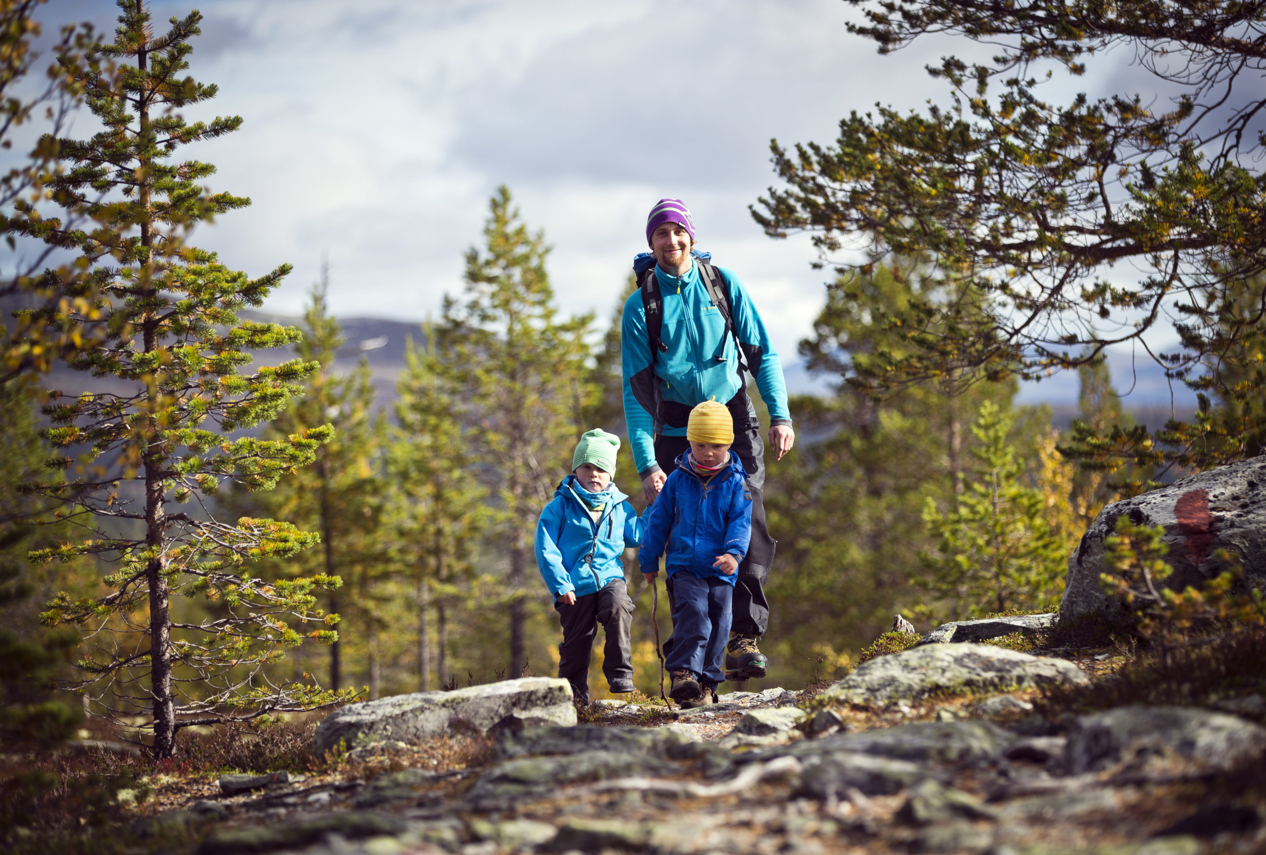
Start from Johnsgård. Follow the marked trail all the way. The first couple of houndred meters is on road. The trail is easy to follow. The last part have a lot of rocks, but it is not to hard to cross.
It is about 2 hours hike to the top, where you can see all the way to Rondane in west and Sweden in east.
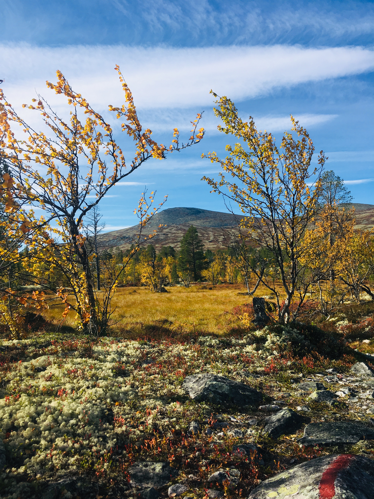
Around Gloføkkampen
16km 400 altitude meters
Follow the trail towards Gloføkkampen. When you get to the last part, follow the marked trail over to the other side, instead of toward the top.
Follow the trail on the other side around the mountain untill you reach a shed on the south side of the mountain.
From here, you can choose to walk along the mountainside back north, or walk down to Rodalssetra and follow a road all the way back to Johnsgård.
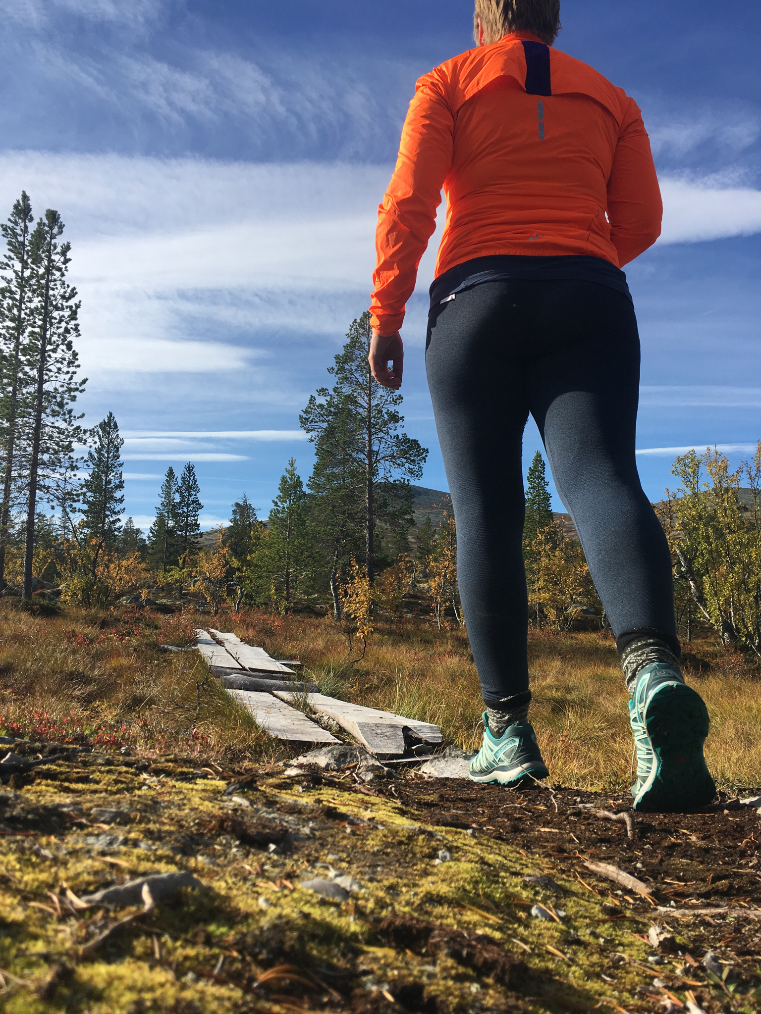
Tylldalslokene
5km
A short and sweet tour. Follow the trail toward Gloføkkampen. Don’t take the first trail towards Tylldalslokene, but wait for the next trail about 600 meter further up. This will give you a nice view towards the lake Femund.
After a while, you will pass two small waters. This is Tylldalslokene. A great place to take a small break.
The trail is a bit rocky, but take it slow and it will be fine.
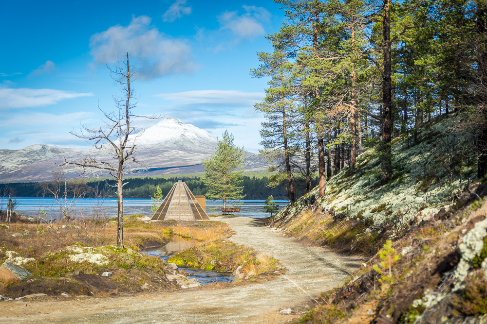
2km round
2km
Our shortest trail is 2 km, and is universal designed. It is an easy trail for elders and children, and you can also go there with stroller or wheelchair.
There are benches around the trail, so you can take a break during the walk.
After about 1 km, you will find a wooden teepee down by the lake Langsjøen.
Our popular frisbee golf course is also around this trail.
Jotseterrunden
7,5km
This trail is marked with blue paint.
Same start as the trail towards Gloføkkampen, but follow the road, and don’t turn left on the trail.
After 3 km, you reach and old outfarm. This is the highest point on the tour.
Take right, and follow the trail towards Langsjøsetra. Here you can find a small shelter, and it is a good place for a break.
After this, the terrain get a bit more rocky.
The last part is the same as on the 2km round. You come by the lavvo at Langodden and have a nice and easy road for the last kilometer.
Sålekinna
5km
Start at the farm next to Øversjøen, on the mountain road between Øversjødalen og Narbuvoll.
Follow the trail from the farm. It is easy to see, but not marked. Some steep parts up from the valley, but mostly easy to walk.
When you get up in the mountain side it is an easy walk towards the foot of the mountain.
The last part is a bit steep and with a lot of rocks.
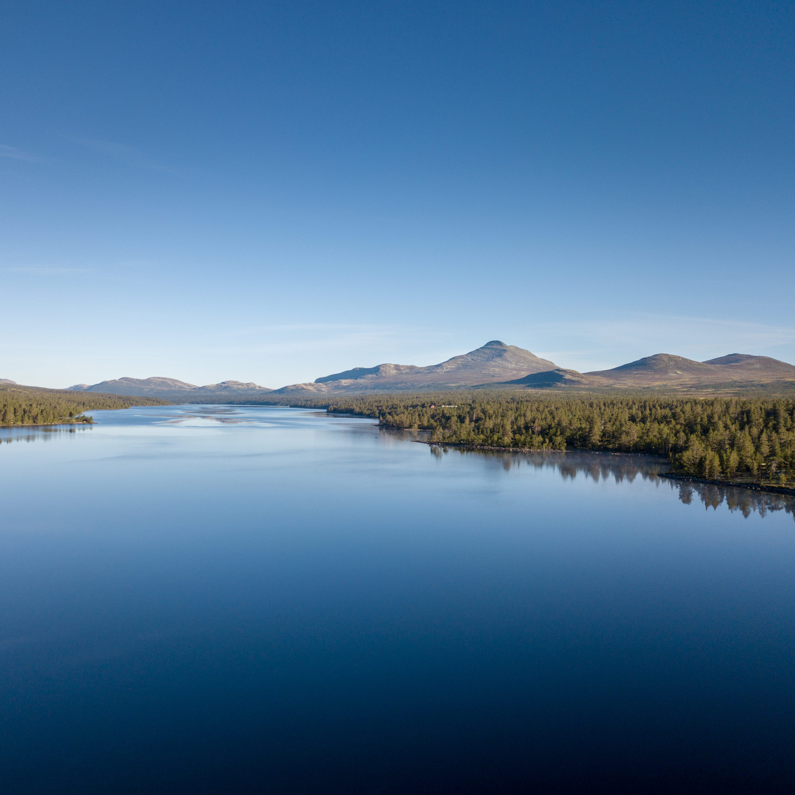
From the top, you get a stunning view. Especially towards the south east, Femunden and Sweden.
